Your Digital Twin Partner
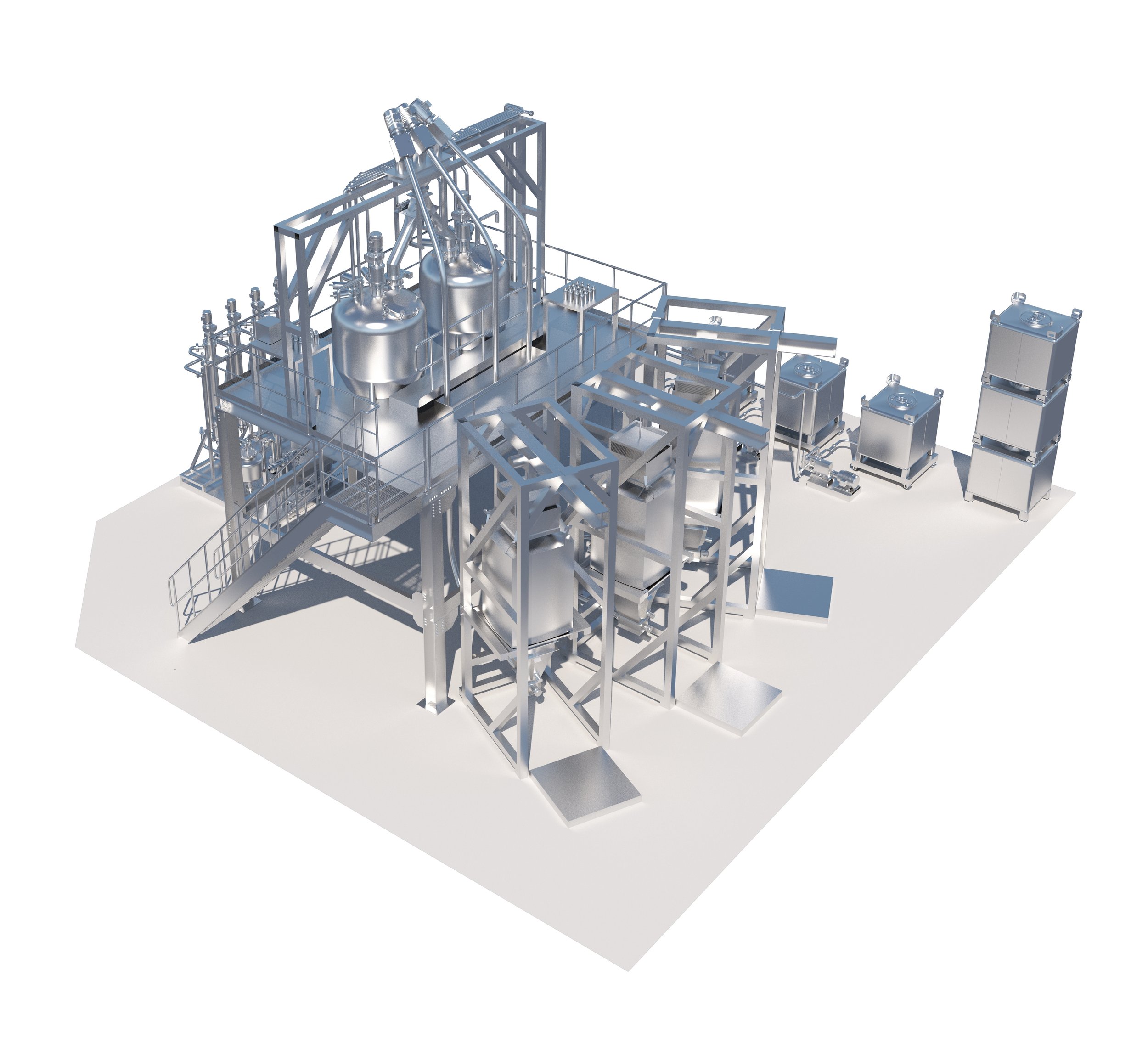
Identic create 3D digital twins of buildings, facilities and spaces
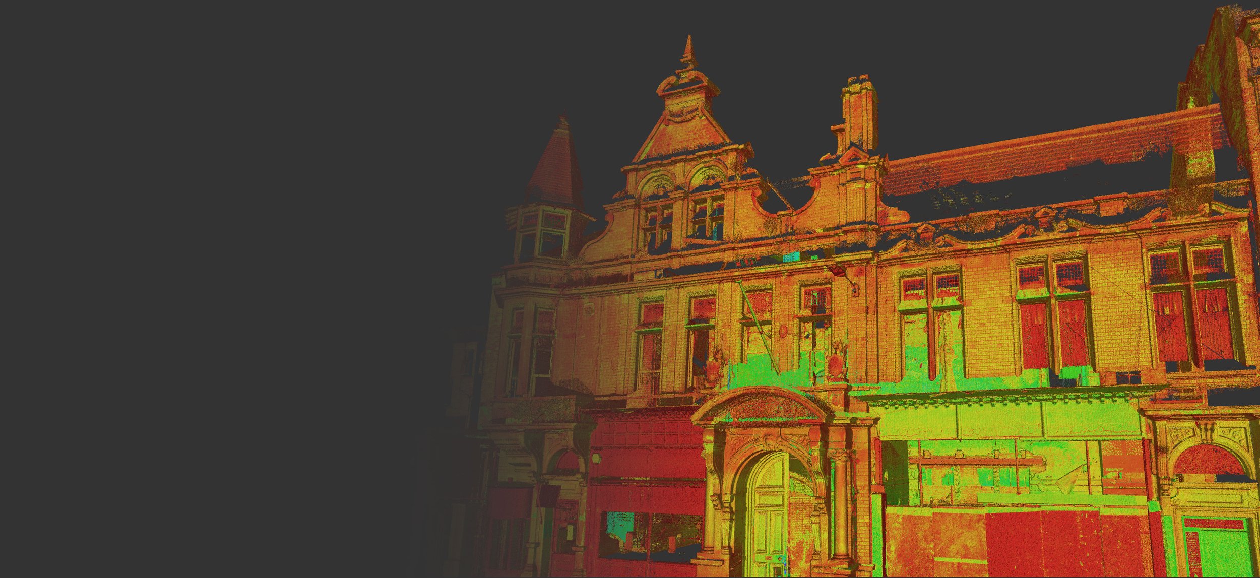
Using high-definition cameras and laser scanning technology we capture reality with images and point cloud data, providing a range of outputs to suit the end user’s requirements
3D Photography
Using high-definition images to create navigable
three-dimensional virtual tours.
We use equipment appropriate to your requirements including Matterport and Insta360.
Measured Survey
Using high-definition images and point cloud data to provide asset condition surveys and two-dimensional schematic floor plan drawings.
We use equipment appropriate to your requirements including Leica, Faro and Matterport.
BIM
Using high-definition images, point cloud data and proprietary software to generate E57 files and data for export to Revit and BIM Modelling
Specialist Photography
We offer a range of bespoke photography solutions to complement the other services offered, these include timelapse photography, aerial and drone photography, promotional and safety videography


